
Faculty in the History department increasingly use digital tools in the classroom, not just to help students learn, but to help them produce materials that solve real-world problems. Students in professor Jared Orsi’s Borderlands History course collaborated on a digital history project with the National Park Service, Chamizal National Memorial, and CSU’s Geospatial Centroid.
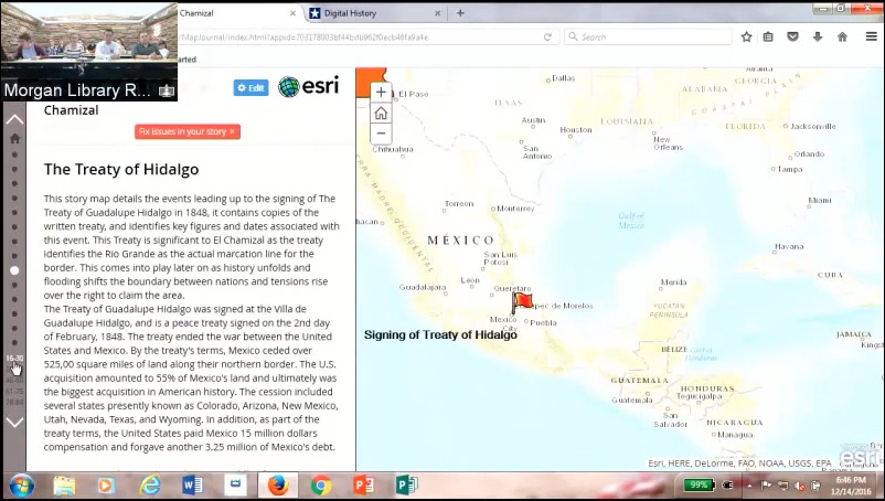
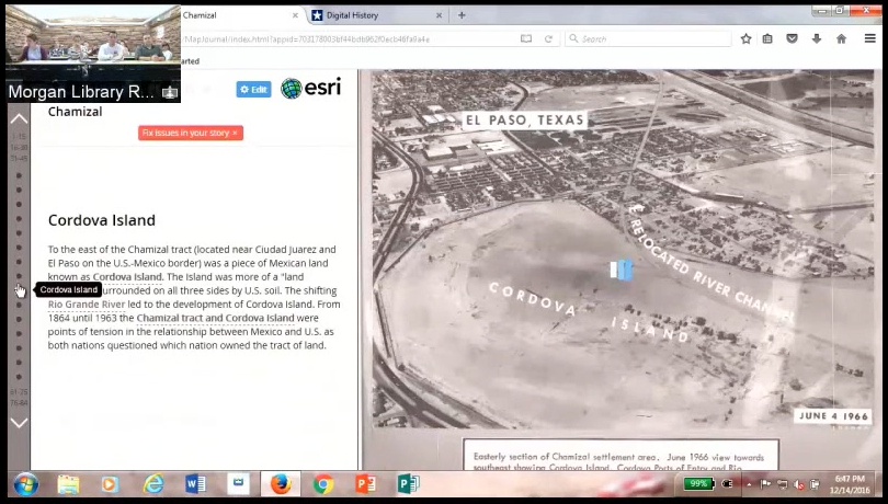
Chamizal National Memorial commemorates the 1964 resolution of a century-long conflict over a piece of land that started out as Mexican territory in 1848 but found itself north of the Rio Grande after a series of ninteenth-century floods changed the course of the river. Staff at the memorial wanted an interactive experience for digital visitors that commemorated significant events from both sides of the Rio Grande River.
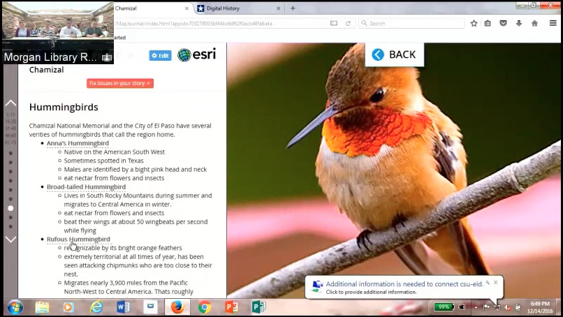
The goal for Orsi’s students was to honor displaced residents and families and celebrate the cultures and creatures of the borderlands. The students chose an Esri Story Map format that allowed them to create an interactive map. Through the map they could trace historical events, compare historical and modern geography, and even explore the wildlife of the region.
Students spent part of the semester learning how to build an Esri story map. Then they used the program to create a map of the region with links that take digital visitors to important aspects of El Chamizal National Memorial, including the natural landscape of the region, the Treaty of Hidalgo, and Cordova Island.
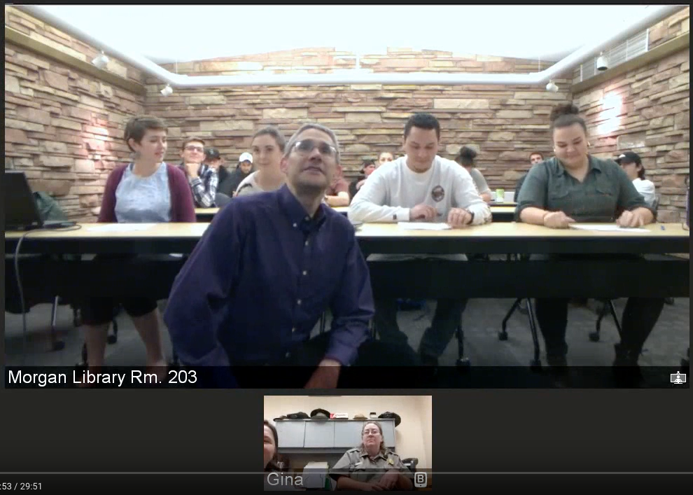
The students presented their story map to interpretation staff in El Paso, Texas, via teleconference from Morgan Library.
Heidi Ogle, a GIS specialist in CSU’s Geographic Resources Division, and Samantha Slenker, a student in International Studies and History who worked as a research assistant, helped Dr. Orsi and the students develop the story map for Chamizal. Slenker later received a paid internship with the National Park Service because of her work with the project.

